OUR SERVICES
Four divisions, one team, built around real geoscience.
From the first exploration data to full field development, we help operators turn subsurface uncertainty into confident technical decisions. Our team works across the complete oil & gas lifecycle, bringing geoscience rigor to every stage so strategy is built on solid ground rather than assumptions.
We assess exploration and subsurface data to support reserve estimation, resource characterization, and investment decisions. Before a client commits capital, we make sure the data actually supports the call being made.
Technical consulting across the project lifecycle, from early exploration through field development planning. We help teams turn subsurface findings into a development approach that actually holds up.
Engineering and technical consulting for oil and gas installation activities, supporting project teams through the technical side of bringing a field into production.
Whether you’re evaluating a new prospect or refining an existing resource, we bring disciplined geoscience to every stage of the mine life cycle. Our team supports exploration, resource estimation, and evaluation across metal, coal, and mineral operations, helping decision-makers see more clearly what lies beneath the surface and act on it with confidence.
No portfolio yet.
Actively developing our first engagements in this area.
Geological modelling and resource estimation across metal, coal, and mineral commodities, including geostatistical methods such as kriging, so the estimate reflects what the deposit actually holds.
Technical guidance across the mine life cycle, from initial evaluation through mine life development, helping operators sequence extraction and infrastructure around a sound geological basis.
Reporting aligned with JORC and KCMI codes for resource and reserve disclosure, prepared to the standard needed for public reporting, regulatory submission, or investor due diligence.
Ground and slope assessment in support of mining operations, catching stability risks early and feeding into safer pit and infrastructure design.
Quality assured sample handling and testing, following standard QA/QC protocols so the assay and geological data downstream can actually be trusted.
Access to geology and mining equipment through GeoLink’s trade and rental registrations, so field programs don’t need to carry the full cost of equipment ownership.
Structured training in industry standard software, including Leapfrog, and core technical methods, run as tiered programs from basic through advanced for teams building capability in house.
Indonesia sits on some of the world’s richest geothermal potential, and we help project teams unlock it responsibly. From early-stage resource studies through to full field development, we combine technical consulting with a genuine commitment to sustainable energy outcomes, helping promising systems move forward with confidence.
No portfolio yet.
Actively developing our first engagements in this area.
Technical support for early stage geothermal exploration, helping teams interpret exploration data and reduce resource risk before committing to drilling.
Evaluation of geothermal potential to inform project feasibility, from early conceptual modelling through more detailed assessment as a project matures.
Practical, consulting oriented training in geothermal exploration, conceptual modelling, and well targeting, built for teams who want hands on technical grounding rather than theory alone.
Good decisions start with knowing the ground you’re building on. We turn spatial and geotechnical data into clarity, supporting safer construction, smarter disaster-risk planning, and precise terrain mapping, while also helping develop sustainable geotourism destinations that put Indonesia’s geology on display.
No portfolio yet.
Actively developing our first engagements in this area.
Technical evaluation of ground conditions for construction, mining, and disaster management applications, giving planning teams the subsurface understanding they need before they build.
Spatial data collection, mapping, and analysis that turns raw spatial data into something a team can actually act on.
Technical assessment of geological risk for infrastructure and land use planning, catching hazards before they turn into costly problems.
Planning support for sustainable geotourism destinations that showcase Indonesia’s geological heritage, balancing public access and education against the need to conserve the sites themselves.
A new-generation collaboration platform built on experience, relationships and trust
Connect with specialists who understand your technical challenges
Access a wide network of subject-matter experts and technical specialists
From business introductions to project partnerships or integrated solution delivery
We bring the right capabilities together to deliver practical solutions and real results
AVAILABLE ACROSS ALL FOUR DIVISIONS
These sit behind our division work rather than in front of it. They are not headline services on their own, but the infrastructure that makes the division work possible.
Testing support that complements fieldwork, positioned as a supporting capability rather than a headline service.
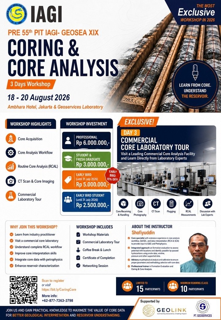
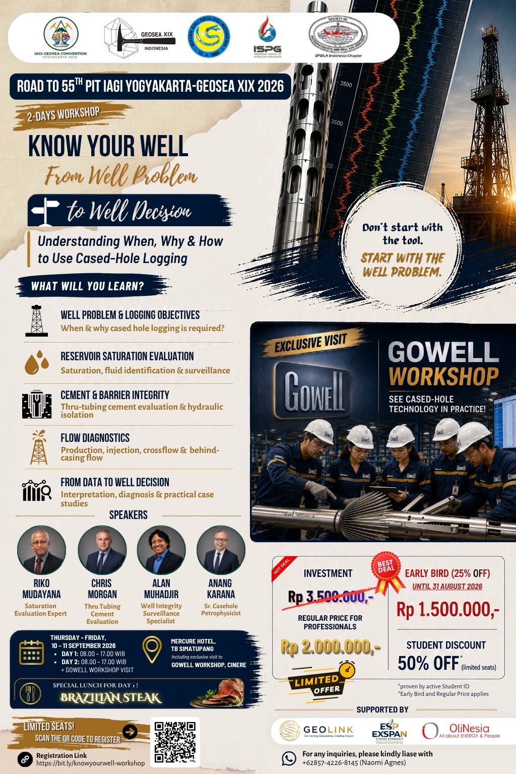
The training infrastructure behind GeoLink’s division specific programs, from Leapfrog courses to geothermal workshops.
IT and digital capability behind the geospatial and data driven side of GeoLink’s technical work.
Event and MICE capability supporting the delivery of training programs, workshops, and technical gatherings.